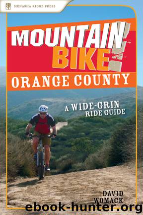
Mountain Bike! Orange County by David Womack

Author:David Womack
Language: eng
Format: epub
ISBN: eBook ISBN: 9780897327800
Publisher: Menasha Ridge Press
Published: 2007-03-02T05:00:00+00:00
GPS TRAILHEAD COORDINATES (WGS 84)
UTM Zone (WGS84) 11S
Easting 0435063
Northing 3735486
Latitude N 33° 45′ 27″
Longitude W 117° 42′ 04″
DIRECTIONS
From the intersection of the CA 405 and CA 133 freeways: Head south on CA 405 1.4 miles and exit at Bake Parkway (Exit 1B). Turn left on Bake Parkway, go 5.3 miles, and turn right on Portola Parkway. After 0.7 miles turn left on Glenn Ranch Road. Go 1.6 miles and turn left on El Toro Road. After 2 miles, at Cook’s Corner, El Toro becomes Santiago Canyon Road. Continue another 7.7 miles on Santiago Canyon Road. Turn left on a dirt road and head through a gate, where a small sign reads irvine ranch land reserve: staging area 1. Continue 100 feet on the dirt road and turn right into the Augustine Staging Area.
From the intersection of the CA 5 and CA 55 freeways: Go north on CA 55 3.2 miles and exit at Chapman Avenue. Turn right and continue straight as Chapman Avenue becomes Santiago Canyon Road. At 7.5 miles from CA 55, turn right on a dirt road and head through a gate, where a small sign reads Irvine Ranch Land Reserve: Staging Area 1. Continue 100 feet on the dirt road and turn right into the Augustine Staging Area.
Download
This site does not store any files on its server. We only index and link to content provided by other sites. Please contact the content providers to delete copyright contents if any and email us, we'll remove relevant links or contents immediately.
Annapurna by Maurice Herzog(3451)
Liar's Poker by Michael Lewis(3423)
A Forest Journey by John Perlin(3048)
Atlas Obscura by Joshua Foer(2937)
The Ogre by Doug Scott(2663)
Cuba by Lonely Planet(2609)
Photographic Guide to the Birds of Indonesia by Strange Morten;(2517)
The Splendid and the Vile by Erik Larson(2438)
Tokyo by Rob Goss(2411)
All Things Reconsidered by Bill Thompson III(2375)
Fatal Storm by Rob Mundle(2199)
INTO THE WILD by Jon Krakauer(2181)
A TIME OF GIFTS by Patrick Leigh Fermor(2179)
DK Eyewitness Top 10 Travel Guides Orlando by DK(2162)
Trail Magic by Trevelyan Quest Edwards & Hazel Edwards(2158)
Touching the Void by Joe Simpson(2118)
Top 10 Dubai and Abu Dhabi by DK Travel(2080)
Abbey in America by Murray John A(2068)
Lonely Planet Australia by Lonely Planet(2057)
